New Zealand
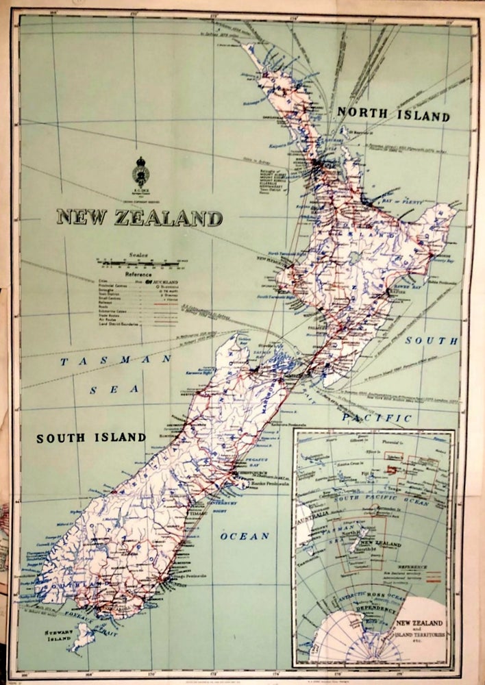
Wellington: Government Printer, 1950. No Binding. Coloured map of New Zealand showing North and South Islands, showing cities, towns, rivers, shipping and air routes etc. Inset map of New Zealand and Island territories, including Antarctic possession (Ross Shelf). 36 x 52.5 cm. c 1880. Very Good. Item #018688
Price: $171.47 NZD
See all items in
Books,
New Zealand