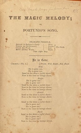
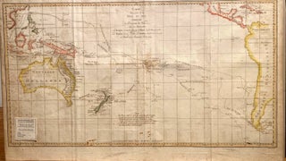
Opera librettos, Auckland, New Zealand
Small 8vo. Soft cover. A collection of 5 Opera libretti for performances of "HMS Pinafore", "Maritanas", "Manola", "Boccaccio", "Un Ballo in Maschero", in Auckland in the 1870s and 1880s. Each libretto has 20-30 pages, printed covers and some include the cast and a synopsis of the opera in addition to..... More