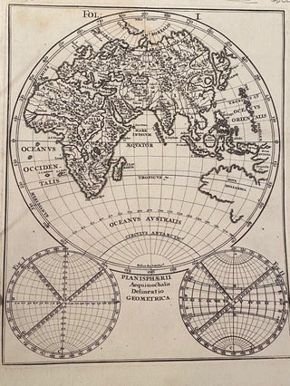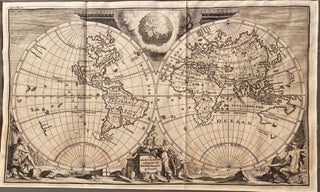
De AARD-KLOOT Volgens De Hedendaagse Gedaante Map
Amersterdam: GOEREE, W. / J., 1720. Unbound. c. 1720. Original engraved Dutch map pre- dating Cook. A double hemisphere map showing California as an island, a rudimentary form of Australia and a single coastline of New Zealand. Surrounding the hemispheres are classical illustrations representing the world's continents. Image size 295mm..... More