
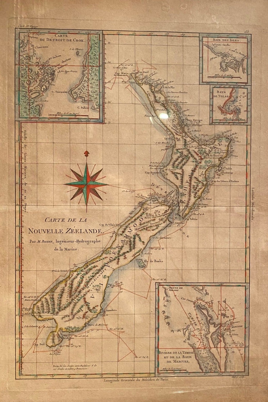
Carte De La Nouvelle Zeelande Map
Paris: BONNE, M, 1778. Unbound. Early engraved French map is one of the first copies of Cook's 1772 chart of New Zealand showing four inserts Cook Strait, Bay of Islands, Mercury Bay and Tolaga Bay. He also copied Cook's mistakes - Banks Peninsula as an island and Stewart Island as a possible peninsula. Pl 33. Image size 26.5 x 25 cm, with mat, 55.5 x 46 cm. Glazed and in early frame. An attractive early map. Very Good. Item #018515
Price: $2,500.00 NZD
See all items in
New Zealand
See all items by Rigobert BONNE