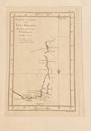
Plan de la Terre de Van Diemen
No Binding. Single page from a mid 1770s French edition of Cook's second voyage, 21 x 27.5 cm, mounted on card 25 x 22.5 cm. Map of the south eastern corner of Tasmania, showing the route of Furneaux's ship in March 1773 with numbers denoting the depth in fathoms from..... More