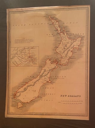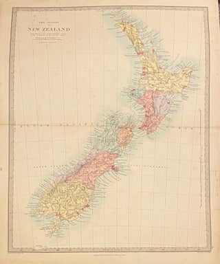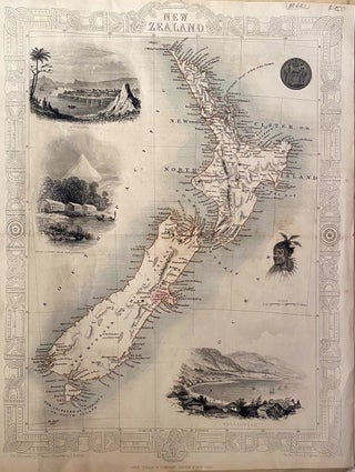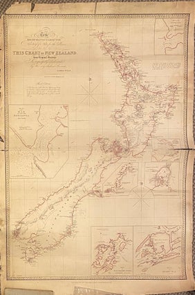
To the Right Honourable Secretary of State for the Colonies, this chart of New Zealand from original surveys is respectfully dedicated by his very obedient servant
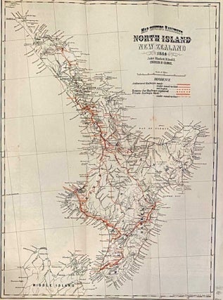
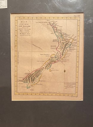
Wellington: 1846. No Binding. Fine hand-coloured outlined map of New Zealand. Both outlines are distored die to lack of survey information. showing Eaheinomauwe (N. Island), Tavaitoenammaoo (or Middle Is.) 85 x 57 cm. 3rd edition. Insets: plan of the bar and Hokianga River, the entrance to Port Manoukao, the southern..... More